
Discover Virginia’s Hidden Hiking Gem Explore, Relax, and Reconnect with Nature
Hiking in Southwest Virginia
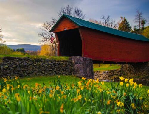
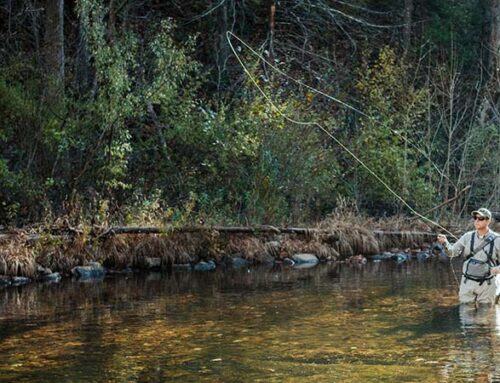
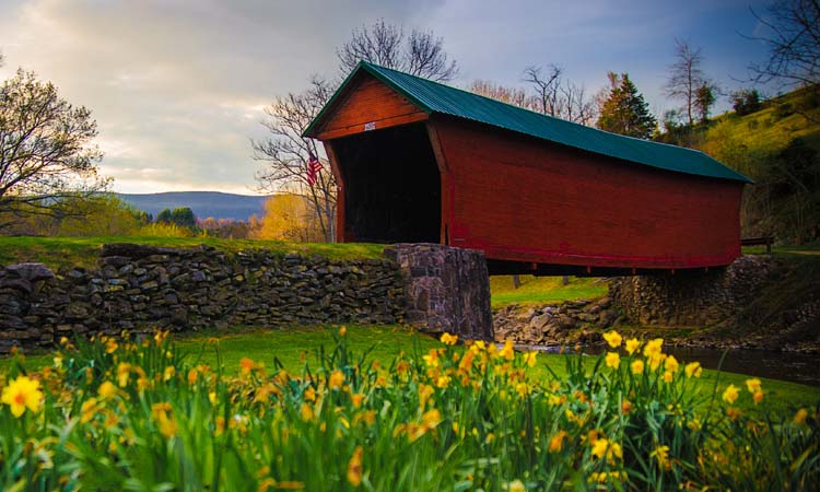
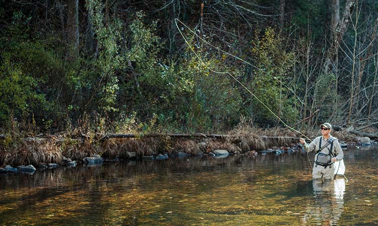
Welcome to Lilly Valley Inn, your gateway to Virginia’s breathtaking Appalachian trails and the serene beauty of the New River Gorge. Whether you’re seeking panoramic views, cascading waterfalls, or peace amidst rolling hills, our luxurious retreat provides the perfect escape for outdoor enthusiasts. Giles County sports more than 50 miles of the Appalachian Trail and many other trails for those that love to get out hiking in Southwest Virginia. One can reach breathtaking vistas of the Appalachian Mountains, the New River, or Cascade Falls along trails that range from relatively easy to strenuous. From easy to moderate trails, you can choose a hike that fits your skill level and all offer fantastic views.
Book Your Adventure
Unforgettable Hiking Trails Just Steps Away
Discover the endless possibilities for adventure around Pearisburg, Virginia. With trails tailored for every skill level, each hike offers a unique blend of natural wonder and awe-inspiring views.
Lilly Valley Inn’s suggested hikes include:
New River Water Trail
Boasting over 37 miles of hiking trails that run next to the New River Giles County offers scenic and breathtaking views throughout the river basin. There are a number of different recommended starting points throughout the trail that are 2-7.5 miles in length. The New River depth ranges from a few inches to at some places one hundred feet. Visit the New River Water Trail official website for more information on this trail, maps, itineraries and more!
Lower Cascade Falls
One of the most popular hikes, this is the most visited outdoor location in Giles County; Cascade Falls supplies amazing beauty year round and fall leaf and rhododendron flowering seasons are spectacular. When snow covers the ground and the sides of the gorge are sheathed with ice the view will amaze anyone. The more challenging two mile lower trail to the falls follows Little Stony Creek which allows you to view many cascades and pools. Many return on the two mile upper trail which lends to a more panoramic view of the valley. Both start and end at the same place so the choice of trails is yours. Over the two miles you will experience an elevation change from 2200’ to 2900’. The 69-foot waterfalls are worth the effort. Difficulty: Less than moderate. $3 parking fee.
Distance from inn: 8.8 Miles
Upper Cascades and Barney’s Wall
For most, the four mile, Lower Cascade Falls brings enough excursion for the day. For others, extending the challenge to include the Upper Cascades and Barney’s Wall makes for the perfect days jaunt. One should allow at least 5 hours for this hike with 8.4 mile length and 1600 feet elevation change. Astounding views lie ahead. Difficulty: Moderate. $3 parking fee
Distance from inn: 8.8 Miles
Upper Cascades and Barney’s Wall
Angels Rest
The Appalachian Trail caps the long ridge one can see to the west off our decks. This popular trail, Angels Rest, brings a challenging climb from the Town of Pearisburg up to the Angels Rest lookout just off the AT along that section of the trail. The out and back trail covers 4.6 miles and 1,550 feet of elevation change. The view is spectacular from the top. If this section of the hike isn’t enough for your adventurous spirit, one can continue hiking south along the AT until you’ve trekked to your heart’s content. Difficulty: More than moderate.
Distance from inn: 4.1 Miles
Mill Creek Falls
Mill Creek Falls just outside of Narrows, Virginia, boasts a half-mile long series of falls and a trail that can be hiked or ridden on a mountain bike and is a great biking trail. One can continue up the trail to the top of Pearis Mountain and join the Appalachian Trail or just relax along the cascade pools. This hike is truly a hidden treasure and can be hike year round. Difficulty: Less than moderate.
Kelly Knob
Another favorite on the Appalachian Trail, Kelly Knob gives you a 6.5 mile out and back along a ridge between John’s Creek and Clover Hollow Mountains. Kelly Knob is particularly striking giving views from 50’ cliffs. The trails are well traveled as Virginia Tech students are known to frequent it in the afternoons. From the start to the high-point, you’ll climb just under 1800’ in just over 3 miles. Difficulty: moderate.
Distance from inn: 22 Miles or 20.4 Miles
Hanging Rock Raptor Observatory
Just over the border into West Virginia, brings a relatively easy hike and fun trail with a bit of something unexpected. The overhanging sandstone known as Hanging Rock on Peters Mountain is also part of the migration path of various birds of prey; including bald and golden eagles, Cooper’s and broadwing hawks. Difficulty: less than moderate. Upper elevation 3812’ – allowing for beautiful vistas in all directions. Best viewing time – depends on the bird but mid-September through November.
Distance from inn: 30.2 Miles
Hanging Rock Raptor Observatory
War Spur & Wind Rock
These trails are moderately easy trails through the Mountain Lake Wilderness as both trails lead to scenic overlooks with elevations from 3100- 3800 feet. Some of this trail follows the Appalachian Trail eastward. The Wind Rock Overlook offers sweeping views of Fork Mountain (3645′) and Peter’s Mountain (4000′).
Distance from inn: 17 Miles
Bald Knob
While less than 1.25 miles, this trail follows a somewhat steep (in parts) Jeep trail. Balk Knob itself is a rock outcropping that allows one to see a panoramic view to the east, south, and west. If it is a clear day, you may even see the Inn at Riverbend to the west. The road offers great opportunity to view butterflies and wildflowers. Elevation: 4365’. Parking fee: $5 which also allows you to walk around Mountain Lake Hotel’s grounds – site for the filming of much of “Dirty Dancing” in the 1980s. There are many other worthwhile trails on Mountain Lake Conservancy lands.
Distance from inn: 12.6 Miles
More Than a Hike—A Gateway to Tranquility
At Lilly Valley Inn, your Appalachian hiking adventure is just the beginning. Discover beautiful views from our verandah and scenic trails. Nestled in Southwest Virginia, our inn offers a serene retreat that makes your getaway unforgettable. Post-hike, relax with a glass of wine on our veranda, indulge in gourmet breakfasts crafted by French-trained Chef Lilly, and take in the soothing views of the New River. Why Choose Lilly Valley Inn: Proximity to Trails: Only minutes from iconic hiking destinations. Luxury Accommodations: Unwind in elegantly designed rooms overlooking Virginia’s rolling hills.
Exceptional Hospitality: From massage chairs to European-inspired breakfasts, every detail is tailored for your comfort.
Your Next Adventure Awaits
Escape the ordinary and immerse yourself in the beauty of spectacular views and Virginia’s trails. Lilly Valley Inn combines adventure and comfort, making it the perfect base for hikers and nature lovers seeking an unforgettable experience. Discover scenic hikes, mountain biking, and one-of-a-kind accommodations.


